
Desert Construction Site Analysis Using Drone LiDAR Terrain Scanning Systems
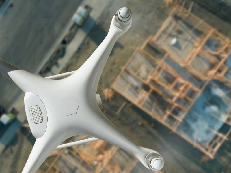
Building in the desert is tough. Sand moves. The ground shifts. Small hills form where flat land used to be. Ground crews cannot see all these changes on foot. Drone LiDAR terrain scanning helps solve this problem. The system flies over the site and maps the land in fine detail. Teams get a clear picture of the ground before work starts. That means fewer shocks, safer work, and better plans from day one.
Sand Drift Mapping Before Desert Site Mobilization
Wind pushes sand around all the time in the desert. Dunes grow in one spot and shrink in another. Before crews bring in trucks and gear, they need to know where sand has piled up. A small hill of sand can hide soft ground that traps heavy machines.
Drone LiDAR maps the whole site in one flight. The scan shows where sand has built up and where the ground is loose. Teams use this to pick safe spots for parking gear. They also plan roads that skip the worst sand zones. Workers can spot ground that the wind has worn down and areas with better cover.
The same maps also protect key roads and buildings later on. A road that runs through a moving dune zone will need fixes all the time. LiDAR shows these risky spots early, so designers can shift key roads and buildings to safer ground.
Detecting Hidden Grade Changes Across Bare Desert Terrain
Desert ground looks flat when you stand on it. Your eyes see long stretches of sand and rock. Yet the land slopes in ways you cannot see. These small changes cause big problems during building.
Drone LiDAR shows every slope, even the tiny ones. Small shifts that would take weeks to check by hand show up right away. Builders find where water will drain. They see where pads need more fill dirt. They know where cuts will be deep. That kind of insight stops costly errors during real work.
A pad that looks flat might need three feet of fill on one side. Finding this early saves money. It also stops big issues down the road. LiDAR makes this quick and simple.
Construction Access Route Planning Over Soft Desert Surfaces
Heavy trucks sink into soft sand. A machine that rolls fine on hard ground can get stuck in loose sand fast. Before the first truck moves, planners need to find firm paths through the site.
Drone LiDAR spots surface firmness by how the ground bounces its laser back. Hard-packed ground reflects it one way. Loose sand reflects it another way. This turns road planning into a smart choice, not a guess. The main wins include:
- Fewer stuck trucks and no rescue costs
- Less damage to the land from bad route picks
- Safer travel through key work zones
- Less ground harm in spots that need to stay clean
Teams that know the best paths save weeks and thousands of dollars. LiDAR turns rough desert work into planned, smooth moves.
Heat and Visibility Challenges in Desert Field Data Collection
Ground surveys ask crews to walk the site by hand. In desert heat over 100 degrees, this work wears people out fast. Bright glare, dust, and long open views make the job even harder. Data crews collect this way often and have gaps.
Drone LiDAR fixes these issues. The drone flies the whole site in one pass. No worker gets tired. No heat slows the work. The system can fly through dust and haze that would stop a walking crew. It works during the hot part of the day when crews take shelter. Teams get better data, faster, with less risk to workers.
The time savings grow on big jobs. A survey that would take weeks by hand takes a few days with drone LiDAR. Crews spend more time using data and less time hunting for it in rough spots.
Cut and Fill Risk Review for Desert Building Pads and Roads
Moving dirt costs money. Every load of dirt that teams cut, haul, or fill adds to the bill. Bad guesses mean either running short of dirt or hauling extra loads for no reason. Getting the numbers right matters for the budget.
LiDAR terrain models give the right numbers. Designers place their planned grade on the current ground. Then they see exactly how much dirt to move. This stops holes under pads. It stops road bases that break under trucks. It stops water pools that should drain away.
These issues cost a lot more to fix once building starts. Cracks in pads and broken roads come from too little fill or weak packing. LiDAR planning stops these problems by giving the true picture of the ground.
Frequently Asked Questions
How does Drone LiDAR help with desert construction sites?
Drone LiDAR maps whole desert sites during one flight. The data shows planners the real ground before work starts. They can pick safe roads, staging spots, and pad zones. Teams find problems early and fix plans before crews and gear show up.
Why is desert terrain difficult to analyze from the ground?
Desert ground looks flat from a walking view. Yet it hides slopes, soft spots, sand piles, and weak areas. Ground crews miss these details across large sites. They also face heat, glare, and long walks that slow the work.
Can Drone LiDAR help plan construction access roads in desert areas?
Yes. LiDAR data shows which paths have hard ground and which have loose sand. This helps route trucks through firm spots. It cuts damage to trucks. It stops machines from getting stuck. It saves the land in areas that need to stay clean.
Does LiDAR work well on sandy terrain?
Drone LiDAR works well on open desert ground and sand. It gives clear data on ground height and firmness. That makes it a strong tool for mapping desert land, dunes, and shifts in the surface.